Create your website
Leica GeoMoS Now! is a web-based application that provides total, round the clock access to monitoring project data via any web-based device. Data is instantly available and users don’t require any previous knowledge of developing websites. Intuitive and easy-to-use configuration tools simplify the creation of webpages. Manage, analyse and distribute the key information after one simple setup. Using real-time data, early detection and fast reaction times can prevent potential problems before they develop, reducing risks and costs.
Flexible and secure user access
Giving you full control over security, access rights and authorisation levels can be set individually. GeoMoS Now! simplifies information to suit both the needs of the user and the monitoring project. By visually editing monitoring data, different needs of various users such as engineers, experts, and managers can be met.
Visualisations in real time
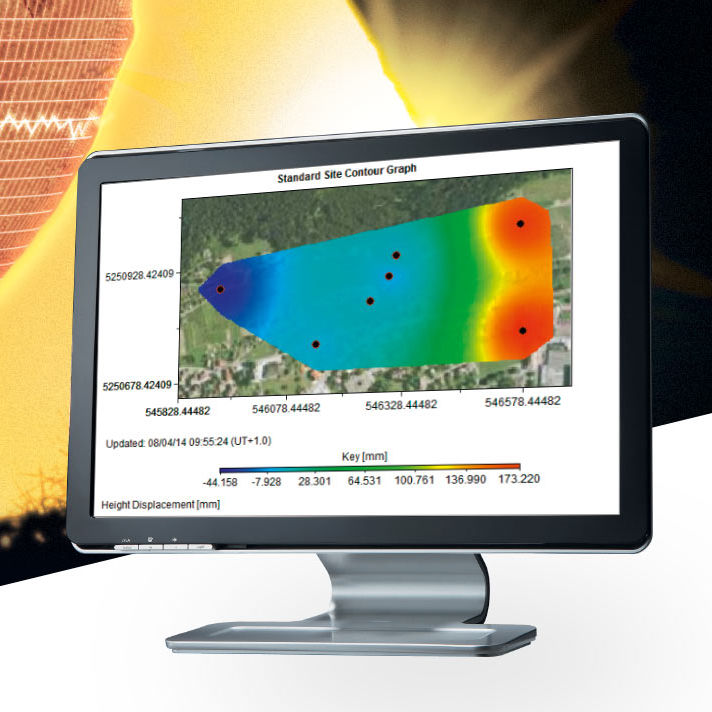
Receive accurate and timely overview on the status of projects by using a range of easy to interpret maps, graphs, images, tables, automatic reports and deformation scans. Enrich geodetic and geotechnical monitoring measurements with GIS shape files and raster data. GeoMoS Now! supports georeferenced industry data formats, so users can have customised views with additional dataset layers. Users can also add customised views to overlay datasets for interpretation.